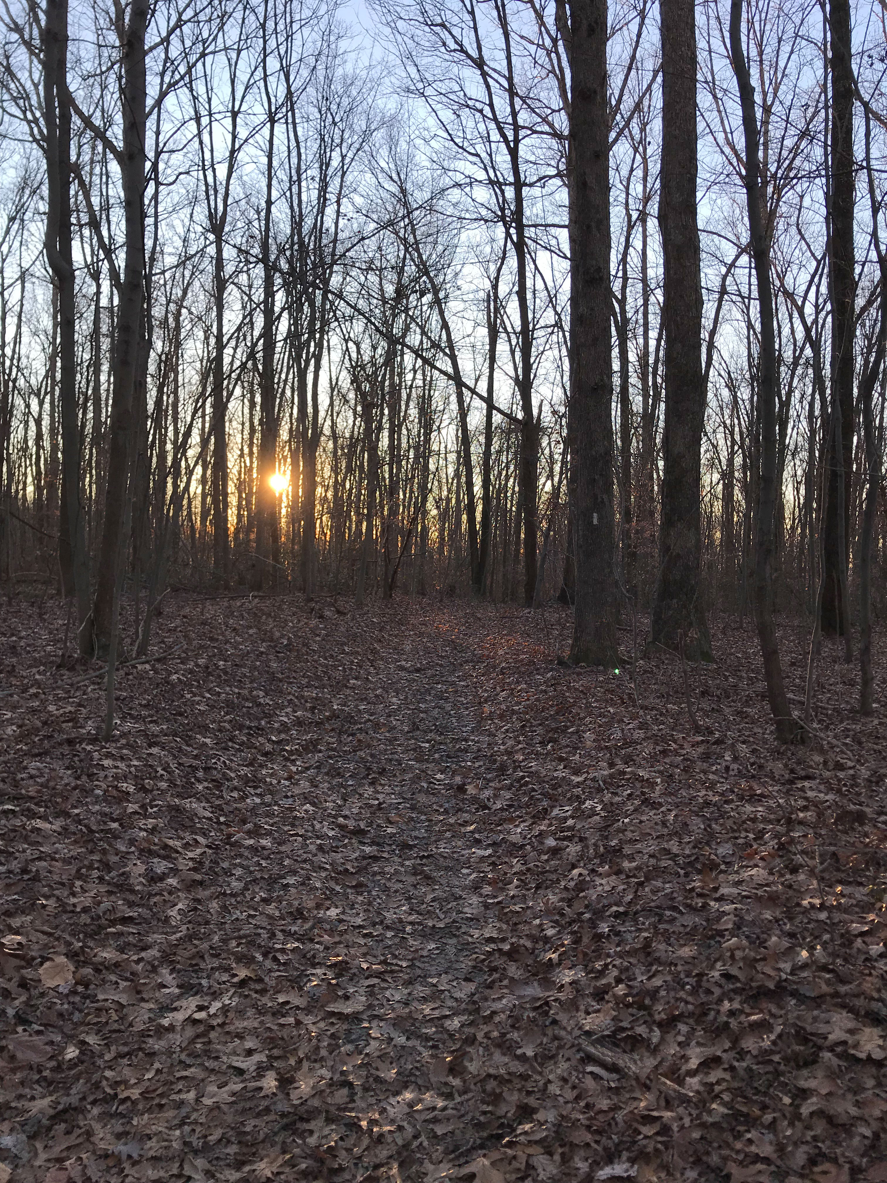
Sunset along the Appalachian Trail in Winter
Now, this tree was pretty massive, about 18″ DBH (DBH=Diameter Breast Height) and only about 1/3 is visible in this picture that I took of the setup Dave made so we could cut off the stump. Rick’s crew arrived just in time as we had moved the stump more than 1/2 way across the trail and welcomed their extra hands that made quick work of ‘tossing’ the stump the final 3 feet. Finished off the day clear two big entanglements on the Griggs Trail.
In my last post I wrote about the new signs I installed at the Appalachian Trail. Check out how well they worked in this picture. In the past there were paths here from folks short-cutting down the hill. Now, that seems to be a thing of the past.
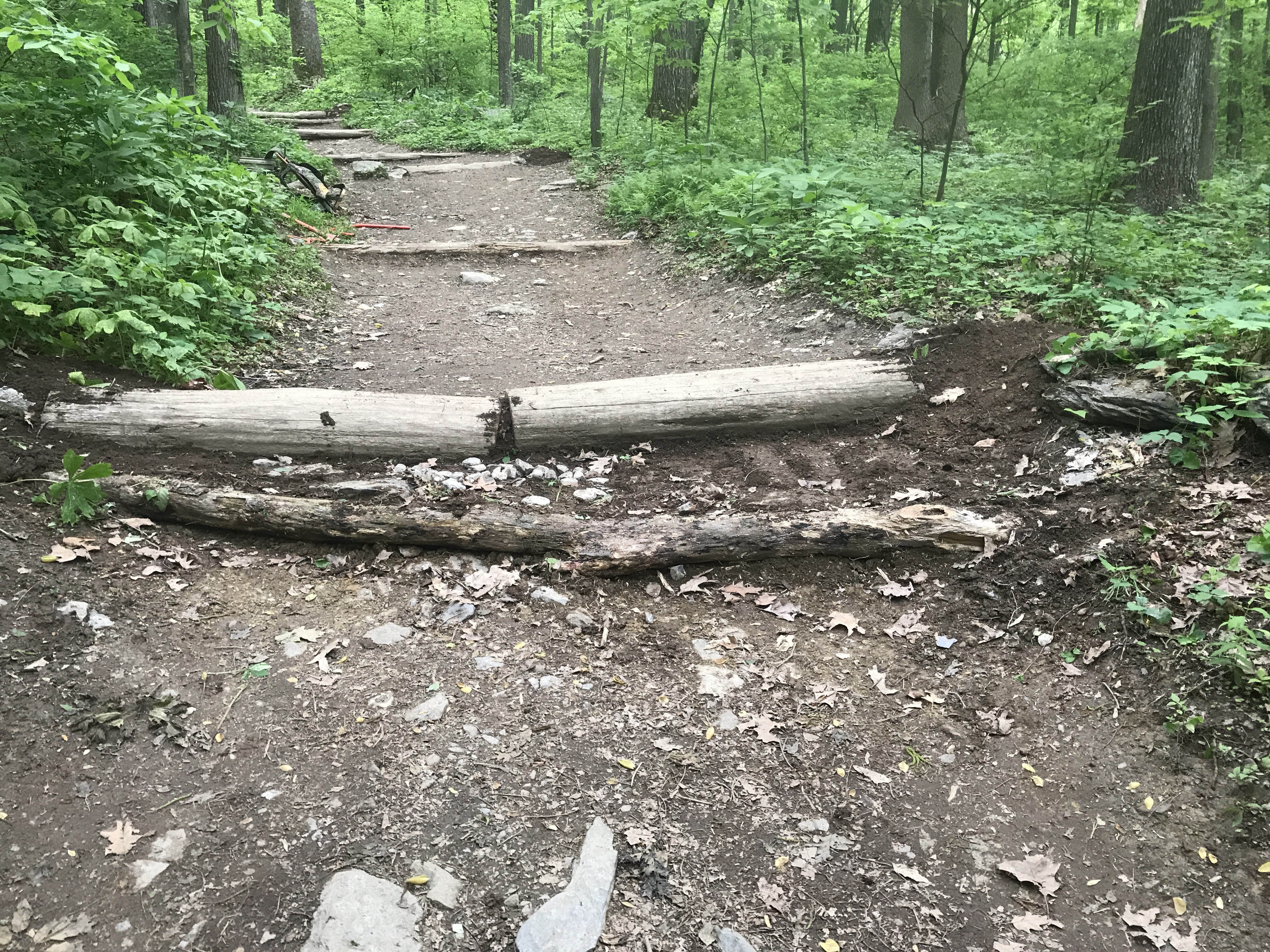
The picture probably doesn’t look like much. What you are looking at though is something that co-volunteer Bob Andrew saw on the AT in North Carolina. Gene, the current Ridge Runner at Annapolis Rocks has a great name for that, V-Checkdams.
I’m talking about that angled log located below the big log. To digress for just a second, we call these logs waterbars. What they do is hold back eroding soil and level the trail tread so it’s not just a rut. When you put in a big log (you take what you can get [i.e. is close by] and move in this business), many hikers find the step up difficult and cheat so walk around. This widens the trail and creates more erosion.
So Bob Andrews ingenious solution here works like magic. Immediately after installing on of the V-Waterbars, hikers magically walk right down the center of the Appalachian Trail. I call this Trail Magic. There is a little irony here in that many novice hikers see a waterbar and think it’s a step — yet this V-Waterbar actually is a step.
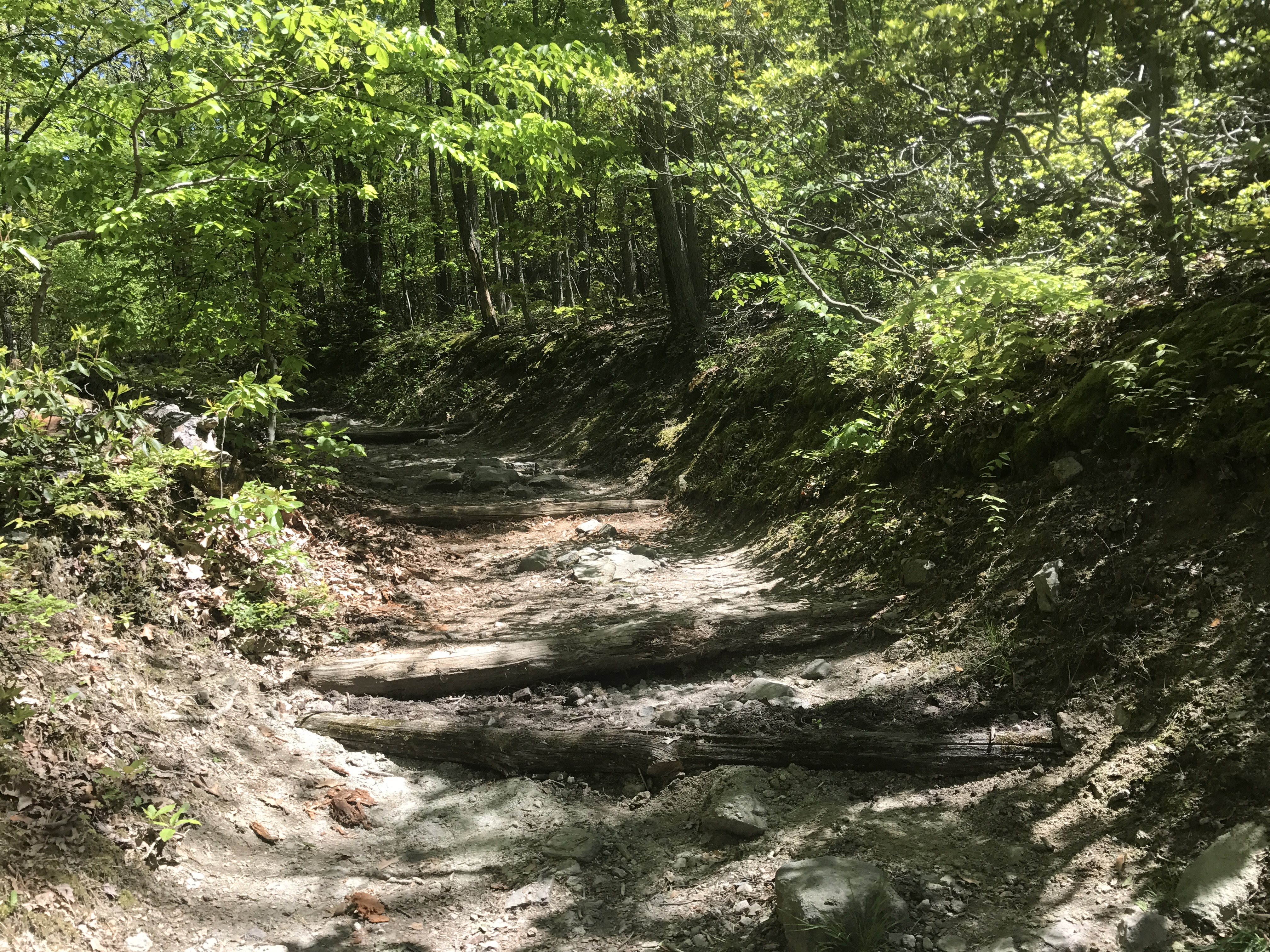
That’s the first one I put in. So far 6 are in place, and probably and equal number to be installed over the summer.
There is lots of history in the surroundings as one walks along the Appalachian Trail. Around here in Maryland there are plenty of Civil War relects and battle sites. Yet, one thing one may not notice are stones – there are so many of them that they’re easy to ignore. Back when the New World was discovered and being conquered, land was one of the items people took for themselves. First to the Lords of the British Empire, then to the local governments and finally to individuals. These parcels needed markings and stones were used to mark the corners and important points on a line. Surveying was quite well established by the 1600s, and mapping as well so these corners were really important landmarks on maps.
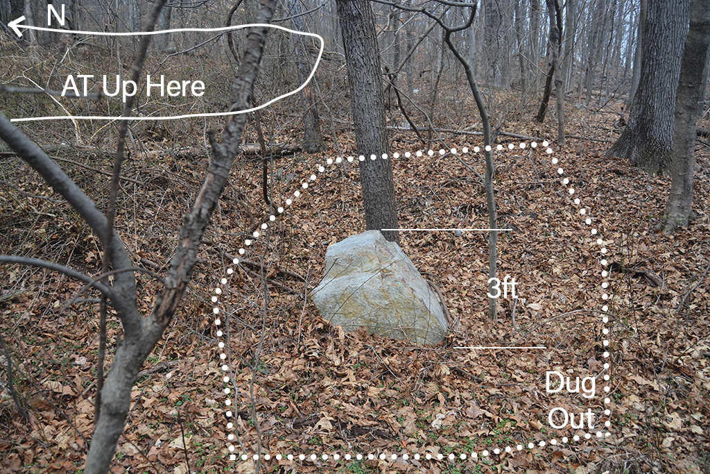
Some of these corners and stones are very important and are named stones. Examples of these would be the stones placed every mile on the Mason Dixon Line, the boundary marker stones every mile on the boundaries of Washington DC, and I think this stone at Gathland State Park – Crampton Gap. The reason I think so is it’s such as massive stone, it’s been placed in a level area that’s been dug out and happens to be on the Frederick County – Washington County Boundary. I walked by this stone for a few decades and never noticed it until now. But that’s not that it wasn’t there and is because I have my eyes open these days and recognize these stones right off.
There are many other property boundary line stones all around you as you walk along the Appalachian Trail. They are much easier to see during the winter time with out the leaves on the trees. It’s really much easier to see these after a couple heavy snowfalls have come and gone as the snow flattens down the leaf litter so the stones sort of pop out at you.
Here is a picture of another property boundary stone about 1 mile North of Crampton Gap on the east side of the AT about 50 feet from the trail. It’s after you reach top of South Mountain and the stone ridge top towers to the
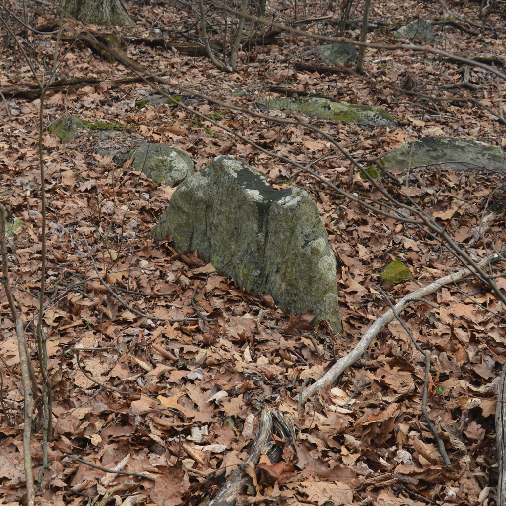
east. What makes this stone stand out is it’s been ‘planted.’ If you we to drop a stone of that shape on the ground it would lay flat. Yet this one is standing vertically. If it were near a cliff or other source of falling stone, this arrangement might occur naturally. This stone was placed there by someone whom dug a hole and planted it. These types of boundary line marker stones are placed at important physical locations so they’d be easy to find. Here the pictures are of stones on the ridge tops. Boundary stones will also be found at the base of hills, next to streams and other permanent locations that one can find simply by looking for monuments (meaning something permanent that one can see).
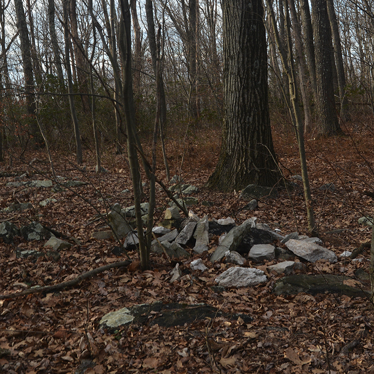
About 1 mile north of that marker stone about at the end of the section where you’re walking on the ridge itself and that trail tread is rocky is another boundary marker stone shown below. Look to your left when walking north (so west side of AT) about where the trail begins to slope downhill and the trail returns to a dirt tread and you’ll see this stone. Around it are piled a few pieces of white quarzite to it really stands out. This is perhaps a great stone to be your first find as the white stones really draw your attention to it. Yet, I’d guess most folks walking on the Appalachian Trail here don’t even notice this boundary stone when passing by.