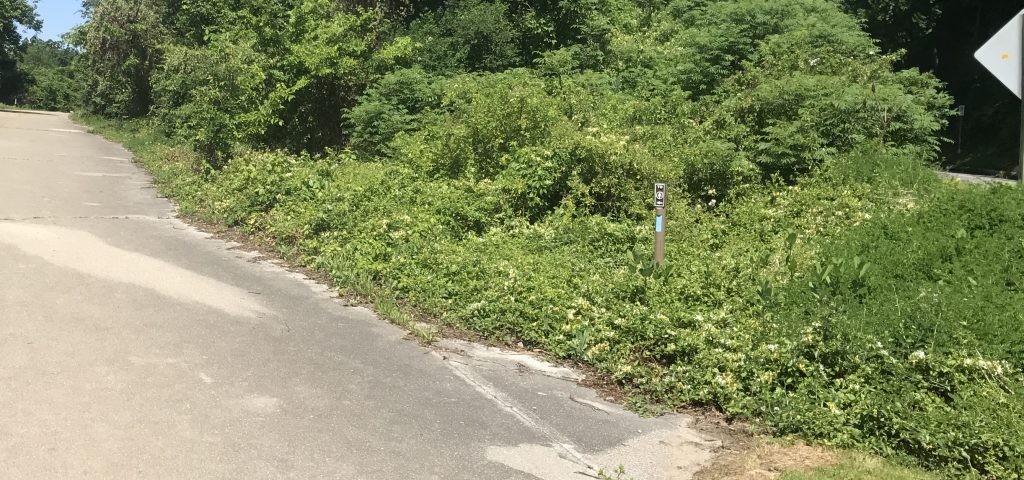
The Appalachian Trail from US-40 to Annapolis Rocks is by far the most used section of the AT in Maryland. Maybe by a factor of 100 to 1. Many of the people that come here have never hiked on the Appalachian Trail and getting to it here is a little different because of changes made when Maryland was building I-70.
Years ago the AT simple went across US-40. But when the freeway was built, US-40 was shifted 100 feet north and part of old US-40 remains. To get to the AT here, hikers walk up 200 feet of old US-40, then turn left onto a trail for 200 feet.
Often though, folks get confused, especially those new to hiking and don’t understand that there is a little oddness to get to the AT. Many times they’ll wander, miss the blue marked trail and walk down the steep tick filled hill to get to the trail. In the first place this is a safety hazard. In the second place if becomes an erosion control problem.
I have made a number of improvements to stop short cutting down and up the embankment, yet those improvements were for those that knew where they were and trying to save time or avoid a wet trail.
The latest improvement here are some signs to direct those new to the area how to get to the AT. While there was a large sign directing folks to the AT at the parking area, once past it and on what had been US-40, folks forgot about it. So a new blue “blaze post” is installed with a ‘To AT’ directional sign pointing the way down old US-40 and this reinforces the existing blue blaze post at the trail head so when folks see the blue mark they now know what it’s for.